
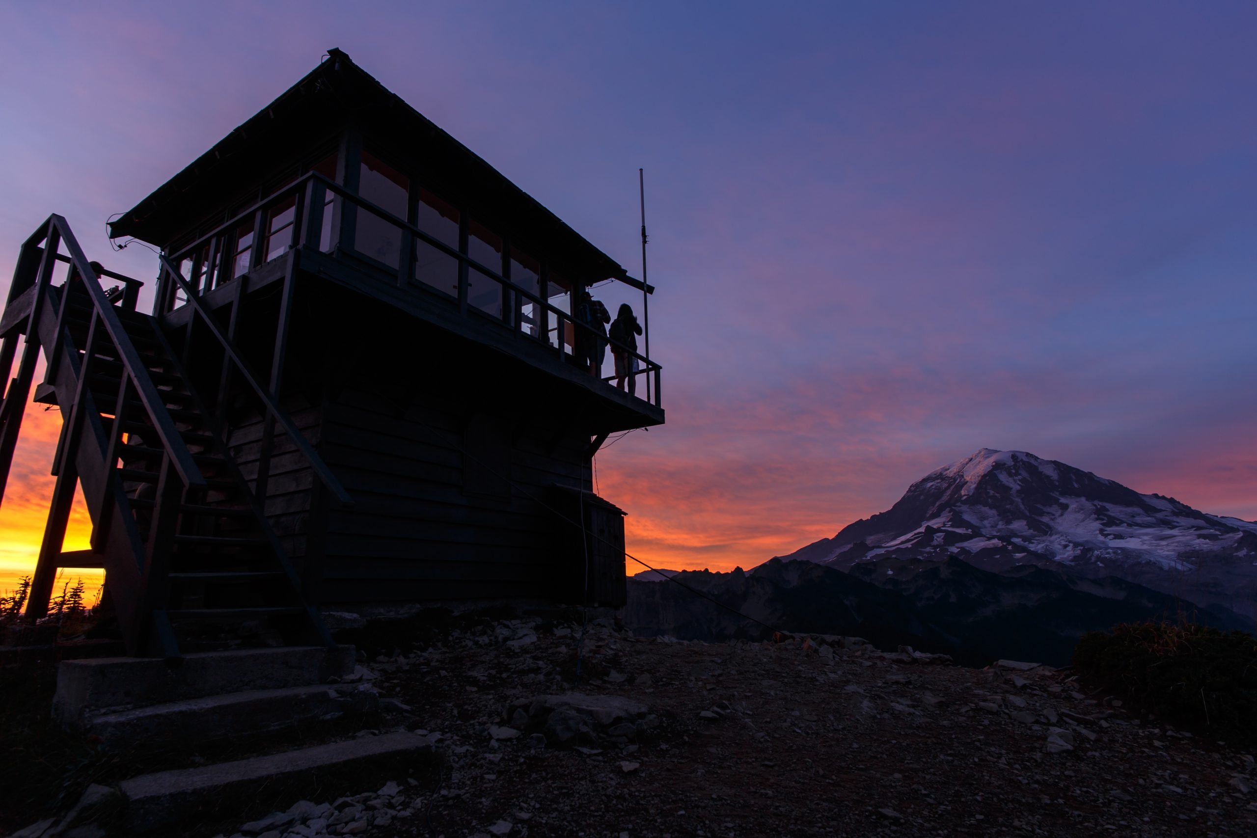
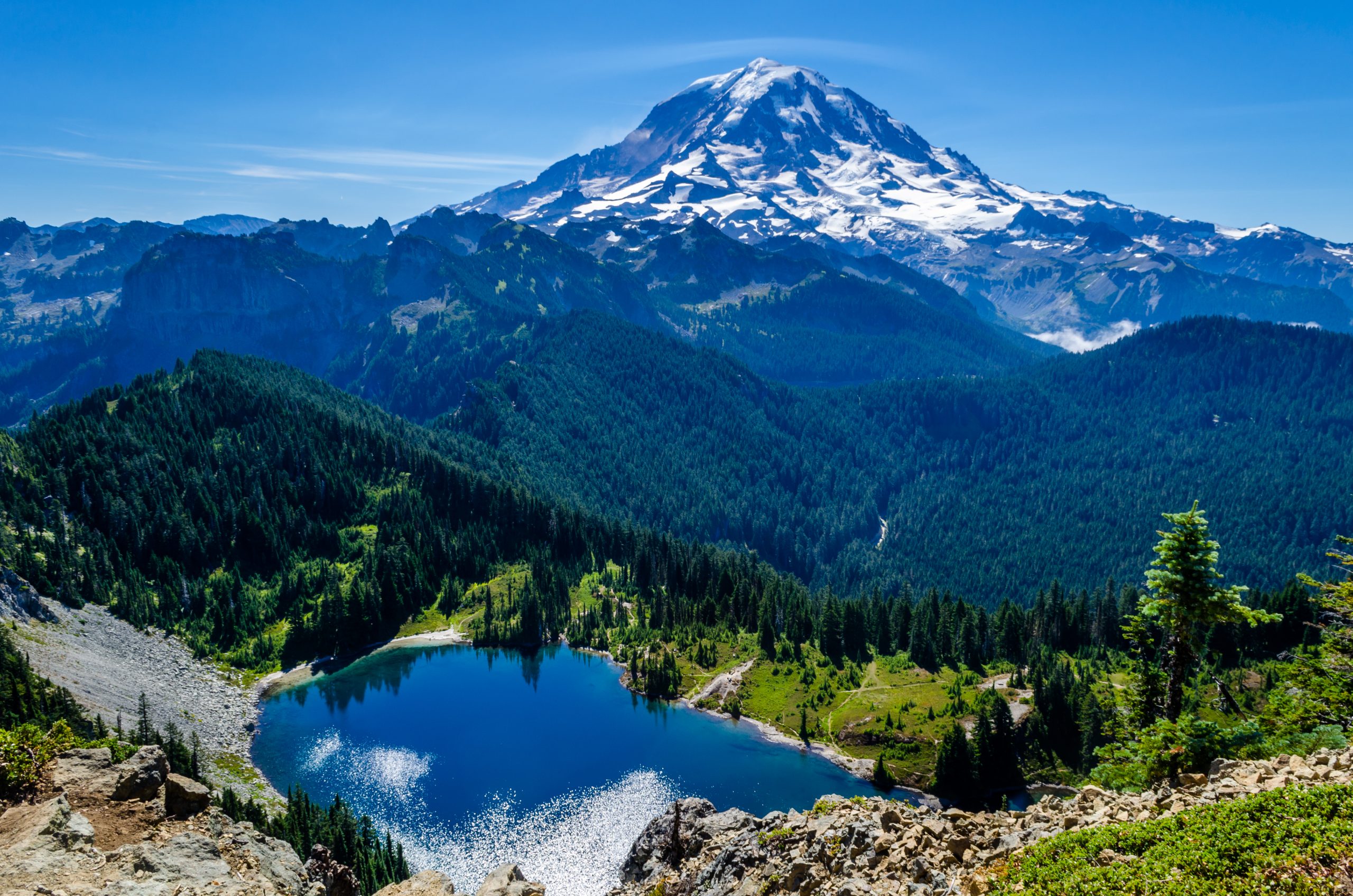
For fantastic head-on views of Mount Rainier and show-stopping alpine lakes scenery, hike to the Tolmie Peak Lookout and Eunice Lake. You can stop at Eunice Lake, if you like, but it’s worth it to continue on to the old fire lookout.
Here’s how to do the Tolmie Peak Fire Lookout hike near Mount Rainier.
How Do I Get to the Tolmie Peak Lookout Tower Hike?
From Puyallup, drive on Highway 410 for 13 miles to Buckley. Turn right onto Highway 165 and drive through Carbonado. Beyond the Carbon River Gorge bridge outside of town, turn right on Mowich Lake Road. Continue for 17 miles until the road ends. The trailhead is on the left side of the road near Mowich Lake.
What is the Tolmie Peak Lookout Hike Like?
Start from the parking area at Mowich Campground. You’ll walk around the west side of Mowich Lake and follow the trail through open forest. At first, the elevation gain is gradual, but picks up as you move past the lake and to Ipsut Pass. The pass is on the famous Wonderland Trail.
At Ipsut Pass, stay left and continue 0.8 mile to Eunice Lake. Continue past the lake and hike a steep mile to the Tolmie fire lookout. You’ll see the grand Carbon River Valley below you. Mount Rainier looms large as you reach the lookout, with Eunice Lake glittering below.
Can I Camp at Mowich Lake?
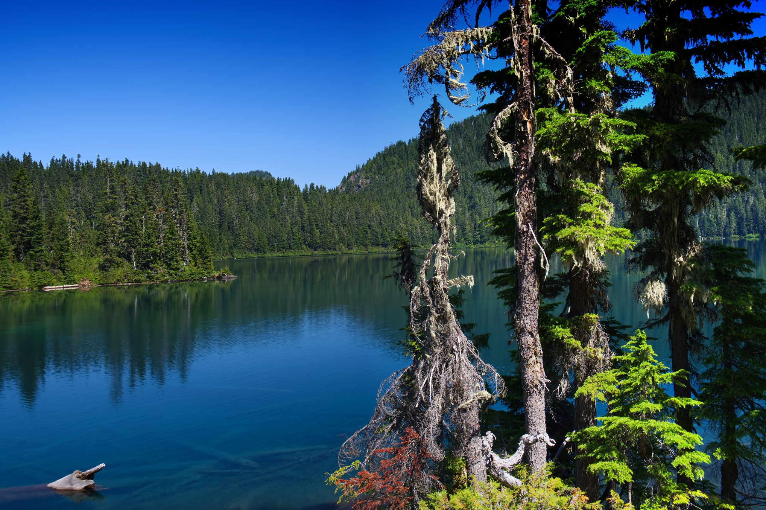
Yes, you can camp at Mowich Lake, the smallest of the four camping areas within Mount Rainier National Park. This is a walk-in, first-come-first-served campground, but it’s one of the most beautiful places you may ever camp. The crystal-clear water of the lake is mesmerizing and you can see right down to the lakebed with its ancient logs.
You’re welcome to swim at your own risk in these glacially fed waters. You can also fish for trout. Nonmotorized boats only are allowed.
Where Else Can I Hike Near Mowich Lake?
If you hike in the opposite direction of Tolmie Peak, you can visit the popular day-hiking destination of Spray Falls. The trail is relatively flat and offers great views of the North Mowich Glacier. Find the falls at the 2-mile mark, an impressive, 160-foot cascade.
Mowich Lake is an access point on the iconic, 93-mile Wonderland Trail. You’ll see a large metal container at the campground’s ranger station for through-hikers who are resupplying.
To experience a glacier firsthand, consider the Carbon Glacier Trail, a 17-mile roundtrip hike with 1,900 feet of elevation gain. You’ll follow the Carbon River right up to the snout of the glacier – enjoy the views from the trail, without climbing the glacier itself. Due to flooding, the trail now starts at the Carbon River entrance. Bikes are allowed on from the Carbon River entrance to Ipsut Creek Campground. From here, climb gently uphill, eventually crossing the river on a log bridge. Hike upriver to connect with the Wonderland Trail at the Carbon River suspension bridge. Do not cross the bridge; instead, continue straight to the Carbon Glacier overlook. This is the closest you’ll get to the lowest glacier in elevation in the contiguous 48 states. If you’re backpacking, there are two camps along the trail: Ipsut Creek at 5 miles and Carbon River at 8 miles.
When Is the Best Time for Hiking in the Mowich Lake Area?
The road to Mowich typically opens between late May and late June, depending on snowmelt. It typically closes in mid-October after the first snowfall of the season.
What Is the Wonderland Trail?
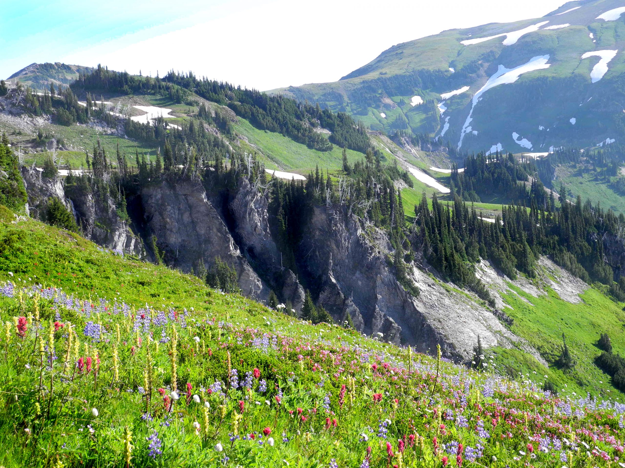
As you hike to the Tolmie Peak Lookout, you may wonder, “Just what is the Wonderland Trail everyone’s talking about?” It is a 93-mile circumnavigation trail around Mount Rainier, generally starting at Longmire with the trail over Rampart Ridge. However, one can start just about anywhere and go in either direction.
Along the Wonderland Trail, there are still original ranger cabins in use, including the oldest cabin, built in 1915, at Indian Henry’s Hunting Ground. The distinguished trail is an excellent way to explore Mount Rainier National Park and all of its ecosystems, from lowland forests to subalpine meadows. Hikers see the many faces of Mount Rainier, carved by 25 named glaciers.
Where Is the Carbon River Entrance to Mount Rainier National Park?
Enter the park at Carbon River via State Route 165 through Wilkeson. The entrance road to the parking lot is closed for cars immediately after the bridge. Park on the side of the road and walk in. At this entrance, you’ll experience the inland temperate rainforest ecosystem of Mount Rainier National Park. Popular activities in this section of the park include hiking, backcountry camping and mountain biking. You’ll also have access to scenic Mowich Lake, the deepest, largest lake in the park.
Are There Other Lookout Tower Hikes in Mount Rainier National Park?
Yes, you can hike to the Mount Fremont Lookout. From Enumclaw, Washington, take SR 410 east for 43 miles to Sunrise Park Road/White River Road. Take a slight right at the fork. Follow the road for 5 miles. The road starts to switchback and becomes Sunrise River Road. Drive for 10 miles to the road’s end at the Sunrise Visitor Center and the parking lot.
Head west on the Sourdough Ridge Trail from the Sunrise Visitor Center to the Frozen Lake junction. From here, you’ll see Mount Rainier and the three Burroughs, as well as expansive Yakima Park, once the hunting and gathering grounds of the Yakama people. Look east to see Crystal Mountain and Nelson Ridge.
At the Frozen Lake junction, the trail leads right and uphill past Frozen Lake. Hike 1.3 miles from the junction to the lookout and gain 481 feet of elevation. This steep section of trail has a series of steps to aid in your hike. You’ll see barren alpine tundra start to surround you, as well as Burroughs Mountain to the south and Skyscraper Peak, with Mount Rainier above them.